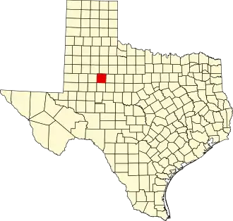
Scurry County
| County in de Verenigde Staten | |||
|---|---|---|---|
| |||
| Situering | |||
| Staat | Texas | ||
| Coördinaten | 32°45'0"NB, 100°55'12"WL | ||
| Algemeen | |||
| Oppervlakte | 2.350 km² | ||
| - land | 2.337 km² | ||
| - water | 13 km² | ||
| Inwoners (2000) |
16.361 (7 inw./km²) | ||
| Overig | |||
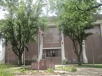
| Zetel | Snyder | ||
| FIPS-code | 48415 | ||
| Opgericht | 1876 | ||
| Website | www | ||
| Foto's | |||
| |||
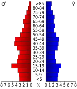 Bevolkingspiramide Scurry County | |||
| Statistieken volkstelling Scurry County | |||
| |||
Scurry County is een van de 254 county's in de Amerikaanse staat Texas.
De county heeft een landoppervlakte van 2.337 km² en telt 16.361 inwoners (volkstelling 2000). De hoofdplaats is Snyder.
Bevolkingsontwikkeling
| Jaar | Inwoners | % ± | |
|---|---|---|---|
| 1900 | 4.158 | — | |
| 1910 | 10.924 | 162,7% | |
| 1920 | 9.003 | −17,6% | |
| 1930 | 12.188 | 35,4% | |
| 1940 | 11.545 | −5,3% | |
| 1950 | 22.779 | 97,3% | |
| 1960 | 20.369 | −10,6% | |
| 1970 | 15.760 | −22,6% | |
| 1980 | 18.192 | 15,4% | |
| 1990 | 18.634 | 2,4% | |
| 2000 | 16.361 | −12,2% | |
| Bron: (en) Historical Decennial Census Population | |||