Floyd County (Iowa)
| County in de Verenigde Staten | |||
|---|---|---|---|
| |||
| Situering | |||
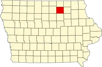
| Staat | Iowa | ||
| Coördinaten | 43°3'24"NB, 92°47'2"WL | ||
| Algemeen | |||
| Oppervlakte | 1.298 km² | ||
| - land | 1.296 km² | ||
| - water | 2 km² | ||
| Inwoners (2000) |
16.900 (13 inw./km²) | ||
| Overig | |||
| Zetel | Charles City | ||
| FIPS-code | 19067 | ||
| Opgericht | 1851 | ||
| Website | www | ||
| Foto's | |||

| |||
 Bevolkingspiramide Floyd County | |||
| Statistieken volkstelling Floyd County | |||
| |||
Floyd County is een county in de Amerikaanse staat Iowa.
De county heeft een landoppervlakte van 1.296 km² en telt 16.900 inwoners (volkstelling 2000). De hoofdplaats is Charles City.
Bevolkingsontwikkeling
| Jaar | Inwoners | % ± | |
|---|---|---|---|
| 1900 | 17.754 | — | |
| 1910 | 17.119 | −3,6% | |
| 1920 | 18.860 | 10,2% | |
| 1930 | 19.524 | 3,5% | |
| 1940 | 20.169 | 3,3% | |
| 1950 | 21.505 | 6,6% | |
| 1960 | 21.102 | −1,9% | |
| 1970 | 19.860 | −5,9% | |
| 1980 | 19.597 | −1,3% | |
| 1990 | 17.058 | −13,0% | |
| 2000 | 16.900 | −0,9% | |
| Bron: (en) Historical Decennial Census Population | |||