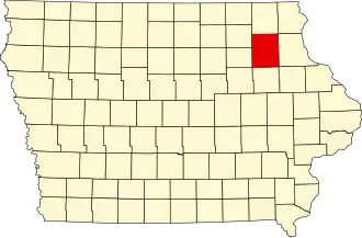
Fayette County (Iowa)
| County in de Verenigde Staten | |||
|---|---|---|---|
| |||
| Situering | |||
| Staat | Iowa | ||
| Coördinaten | 42°51'54"NB, 91°50'58"WL | ||
| Algemeen | |||
| Oppervlakte | 1.894 km² | ||
| - land | 1.893 km² | ||
| - water | 1 km² | ||
| Inwoners (2000) |
22.008 (12 inw./km²) | ||
| Overig | |||
| Zetel | West Union | ||
| FIPS-code | 19065 | ||
| Opgericht | 1837 | ||
| Website | fayettecountyiowa | ||
| Foto's | |||

| |||
 Bevolkingspiramide Fayette County | |||
| Statistieken volkstelling Fayette County | |||
| |||
Fayette County is een county in de Amerikaanse staat Iowa.
De county heeft een landoppervlakte van 1.893 km² en telt 22.008 inwoners (volkstelling 2000). De hoofdplaats is West Union.
Bevolkingsontwikkeling
| Jaar | Inwoners | % ± | |
|---|---|---|---|
| 1900 | 29.845 | — | |
| 1910 | 27.919 | −6,5% | |
| 1920 | 29.251 | 4,8% | |
| 1930 | 29.145 | −0,4% | |
| 1940 | 29.151 | 0,0% | |
| 1950 | 28.294 | −2,9% | |
| 1960 | 28.581 | 1,0% | |
| 1970 | 26.898 | −5,9% | |
| 1980 | 25.488 | −5,2% | |
| 1990 | 21.843 | −14,3% | |
| 2000 | 22.008 | 0,8% | |
| Bron: (en) Historical Decennial Census Population | |||