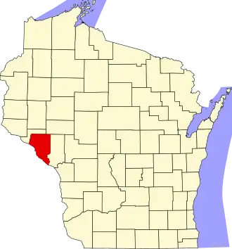
Buffalo County (Wisconsin)
| County in de Verenigde Staten | |||
|---|---|---|---|
| |||
| Situering | |||
| Staat | Wisconsin | ||
| Tijdzone | Central Standard Time (UTC−6) | ||
| Coördinaten | 44°22'48"NB, 91°45'0"WL | ||
| Algemeen | |||
| Oppervlakte | 1.838 km² | ||
| - land | 1.773 km² | ||
| - water | 65 km² | ||
| Inwoners (2000) |
13.804 (8 inw./km²) | ||
| Overig | |||
| Zetel | Alma | ||
| FIPS-code | 55011 | ||
| Opgericht | 1853 | ||
| Website | www | ||
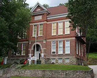
| Foto's | |||
| |||
 Bevolkingspiramide Buffalo County | |||
| Statistieken volkstelling Buffalo County | |||
| |||
Buffalo County is een van de 72 county's in de Amerikaanse staat Wisconsin.
De county heeft een landoppervlakte van 1.773 km² en telt 13.804 inwoners (volkstelling 2000). De hoofdplaats is Alma.
Bevolkingsontwikkeling
| Jaar | Inwoners | % ± | |
|---|---|---|---|
| 1900 | 16.765 | — | |
| 1910 | 16.006 | −4,5% | |
| 1920 | 15.615 | −2,4% | |
| 1930 | 15.330 | −1,8% | |
| 1940 | 16.090 | 5,0% | |
| 1950 | 14.719 | −8,5% | |
| 1960 | 14.202 | −3,5% | |
| 1970 | 13.743 | −3,2% | |
| 1980 | 14.309 | 4,1% | |
| 1990 | 13.584 | −5,1% | |
| 2000 | 13.804 | 1,6% | |
| Bron: (en) Historical Decennial Census Population | |||