Wall (Northumberland)
| Civil parish in Engeland | |||
|---|---|---|---|
 | |||
| Situering | |||
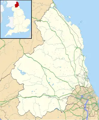
| Regio | North East England | ||
| Graafschap | Northumberland | ||
| District | Northumberland | ||
| Coördinaten | 55° 1' NB, 2° 8' WL | ||
| Algemeen | |||
| Oppervlakte | 3,7235[1] km² | ||
| Overig | |||
| Postcode(s) | NE46 | ||
| Netnummer(s) | 01434 | ||
| Grid code | NY916689 | ||
| Post town | HEXHAM | ||
| ONS-code | E04010874 | ||
| Foto's | |||
.jpg)
| |||
| |||
Wall is een civil parish in het bestuurlijke gebied Northumberland, in het Engelse graafschap Northumberland.
Bronnen, noten en/of referenties
Geplaatst op:
16-8-2010
16-8-2010
Dit artikel is een beginnetje over landen & volken. U wordt uitgenodigd om op bewerken te klikken om uw kennis aan dit artikel toe te voegen.