Longhirst
| Civil parish in Engeland | |||
|---|---|---|---|
 | |||
| Situering | |||
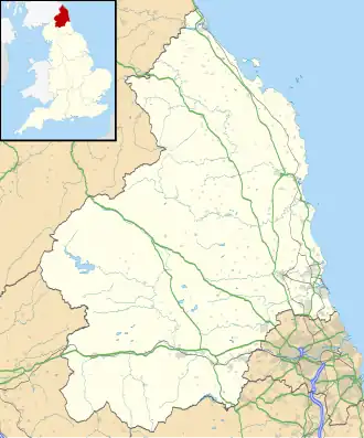
| Regio | North East England | ||
| Graafschap | Northumberland | ||
| District | Northumberland | ||
| Coördinaten | 55° 12' NB, 1° 39' WL | ||
| Algemeen | |||
| Oppervlakte | 11,0487 km² | ||
| Inwoners (2011) |
310 (28 inw./km²) | ||
| Overig | |||
| ONS-code | E04010823 | ||
| Foto's | |||

| |||
| Oorlogsmonument | |||
| |||
Longhirst is een civil parish in het bestuurlijke gebied Northumberland, in het Engelse graafschap Northumberland. In 2001 telde het dorp 446 inwoners.[1]