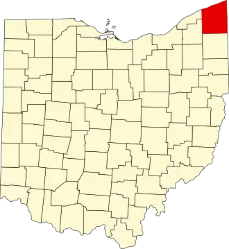
Ashtabula County
| County in de Verenigde Staten | |||
|---|---|---|---|
| |||
| Situering | |||
| Staat | Ohio | ||
| Tijdzone | Eastern Standard Time (UTC−5) | ||
| Coördinaten | 41°53'24"NB, 80°45'36"WL | ||
| Algemeen | |||
| Oppervlakte | 3.544 km² | ||
| - land | 1.819 km² | ||
| - water | 1.725 km² | ||
| Inwoners (2000) |
102.728 (56 inw./km²) | ||
| Overig | |||
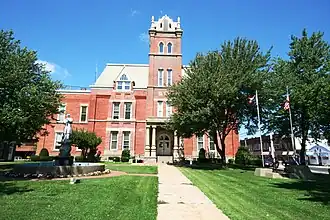
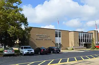
| Zetel | Jefferson | ||
| FIPS-code | 39007 | ||
| Opgericht | 1807 | ||
| Website | www | ||
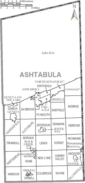
| Detailkaart | |||
| |||
| Overzichtskaart van Ashtabula County | |||
| Foto's | |||
| |||
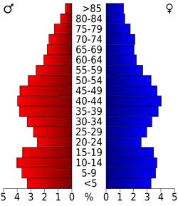 Bevolkingspiramide Ashtabula County | |||
| Statistieken volkstelling Ashtabula County | |||
| |||
Ashtabula County is een van de 88 county's in de Amerikaanse staat Ohio.
De county heeft een landoppervlakte van 1.819 km² en telt 102.728 inwoners (volkstelling 2000). De hoofdplaats is Jefferson.
Bevolkingsontwikkeling
| Jaar | Inwoners | % ± | |
|---|---|---|---|
| 1900 | 51.448 | — | |
| 1910 | 59.547 | 15,7% | |
| 1920 | 65.545 | 10,1% | |
| 1930 | 68.361 | 4,3% | |
| 1940 | 68.674 | 0,5% | |
| 1950 | 78.695 | 14,6% | |
| 1960 | 93.067 | 18,3% | |
| 1970 | 98.237 | 5,6% | |
| 1980 | 104.215 | 6,1% | |
| 1990 | 99.821 | −4,2% | |
| 2000 | 102.728 | 2,9% | |
| Bron: (en) Historical Decennial Census Population | |||