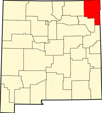
Union County (New Mexico)
| County in de Verenigde Staten | |||
|---|---|---|---|
| |||
| Situering | |||
| Staat | New Mexico | ||
| Coördinaten | 36°28'48"NB, 103°28'12"WL | ||
| Algemeen | |||
| Oppervlakte | 9.922 km² | ||
| - land | 9.920 km² | ||
| - water | 2 km² | ||
| Inwoners (2000) |
4.174 (0 inw./km²) | ||
| Overig | |||
| Zetel | Clayton | ||
| FIPS-code | 35059 | ||
| Website | www | ||
| Foto's | |||

| |||
 Bevolkingspiramide Union County | |||
| Statistieken volkstelling Union County | |||
| |||
Union County is een county in de Amerikaanse staat New Mexico.
De county heeft een landoppervlakte van 9.920 km² en telt 4.174 inwoners (volkstelling 2000). De hoofdplaats is Clayton.
Bevolkingsontwikkeling
| Jaar | Inwoners | % ± | |
|---|---|---|---|
| 1900 | 4.528 | — | |
| 1910 | 11.404 | 151,9% | |
| 1920 | 16.680 | 46,3% | |
| 1930 | 11.036 | −33,8% | |
| 1940 | 9.095 | −17,6% | |
| 1950 | 7.372 | −18,9% | |
| 1960 | 6.068 | −17,7% | |
| 1970 | 4.925 | −18,8% | |
| 1980 | 4.725 | −4,1% | |
| 1990 | 4.124 | −12,7% | |
| 2000 | 4.174 | 1,2% | |
| Bron: (en) Historical Decennial Census Population | |||