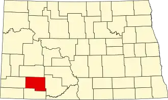
Hettinger County
| County in de Verenigde Staten | |||
|---|---|---|---|
| |||
| Situering | |||
| Staat | North Dakota | ||
| Tijdzone | Central Standard Time (UTC−6) | ||
| Coördinaten | 46°26'NB, 102°26'WL | ||
| Algemeen | |||
| Oppervlakte | 2.937 km² | ||
| - land | 2.933 km² | ||
| - water | 4 km² | ||
| Inwoners (2000) |
2.715 (1 inw./km²) | ||
| Overig | |||
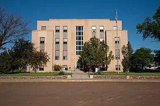
| Zetel | Mott | ||
| FIPS-code | 38041 | ||
| Opgericht | 1883 | ||
| Website | www | ||
| Foto's | |||
| |||
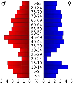 Bevolkingspiramide Hettinger County | |||
| Statistieken volkstelling Hettinger County | |||
| |||
Hettinger County is een county in de Amerikaanse staat North Dakota.
De county heeft een landoppervlakte van 2.933 km² en telt 2.715 inwoners (volkstelling 2000). De hoofdplaats is Mott.
De county is vernoemd naar Tom Hettinger.