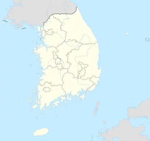
Yongin
| Plaats in Zuid-Korea | |||
|---|---|---|---|
 | |||
| Situering | |||
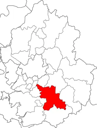
| Provincie | Gyeonggi-do | ||
| Indeling | 3 gu, 22 dong, 1 eup, 6 myeon | ||
| Coördinaten | 37° 14′ NB, 127° 12′ OL | ||
| Naam (taalvarianten) | |||
| Hangul | 용인시 | ||
| Hanja | 龍仁市 | ||
| Herziene romanisatie | Yongin-si | ||
| McCune-Reischauer | Yong'in-si | ||
| Algemeen | |||
| Oppervlakte | 591 km² | ||
| Inwoners (2005[1]) |
1.066.975 (1.804 inw./km²) | ||
| Overig | |||
| Website | Officiële website | ||
| Detailkaart | |||
| |||
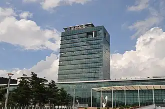
| Foto's | |||
| |||
| |||
Yongin is een stad in de Zuid-Koreaanse provincie Gyeonggi. Bij de volkstelling van 2020 had de stad 1.066.975 inwoners.[1] Yongin is onderdeel van de agglomeratie Seoel.
Toeristische attracties
- Korean Folk Village
- Everland
- Caribbean Bay
Bronnen, noten en/of referenties
- ↑ South Korea: Cities - Population Statistics, Maps, Charts, Weather and Web Information. www.citypopulation.de. Geraadpleegd op 9 mei 2025.
Zie de categorie Yongin van Wikimedia Commons voor mediabestanden over dit onderwerp.