Sedibeng
| District in Zuid-Afrika | |||
|---|---|---|---|
 | |||
.svg.png)
| |||
| Situering | |||
| Provincie | Gauteng | ||
| Coördinaten | 26°30'ZB, 28°15'OL | ||
| Algemeen | |||
| Oppervlakte | 4173 km² | ||
| Inwoners (2011) |
916.484 (220 inw./km²) | ||
| Etniciteit[1] | 82% Zwart 16% Blank 1% Kleurling 1% Indisch of Aziatisch | ||
| Talen[1] | 46% Zuid-Sotho 16% Zoeloe 15% Afrikaans 7% Xhosa 5% Engels 2% Noord-Sotho 2% Tswana 1% Zuid-Ndebele 1% Tsonga | ||
| Overig | |||
| Website | sedibeng.gov.za/ | ||
| Foto's | |||
| |||
| |||
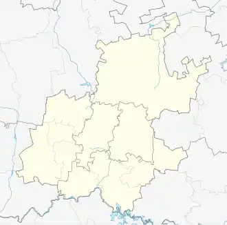
Sedibeng (officieel Engels: Sedibeng District Municipality, Afrikaans: Sedibeng Distriksmunisipaliteit) is een district in Zuid-Afrika. Sedibeng ligt in de provincie Gauteng en telt 916.484 inwoners.[1] Hoofdplaats is Vereeniging.
Gemeenten in het district
Bronnen, noten en/of referenties