Emfuleni
| Gemeente in Zuid-Afrika | |||
|---|---|---|---|
 | |||
.svg.png)
| |||
| Situering | |||
| Provincie | Gauteng | ||
| District | Sedibeng | ||
| Coördinaten | 26° 40′ ZB, 27° 56′ OL | ||
| Algemeen | |||
| Oppervlakte | 987 km² | ||
| Inwoners (2022) |
945.650 (979 inw./km²) | ||
| Etniciteit[1] | 85% Zwart 12% Blank 1% Kleurling 1% Indisch of Aziatisch | ||
| Talen[1] | 52% Zuid-Sotho 13% Zoeloe 12% Afrikaans 8% Xhosa 4% Engels 3% Tswana 1% Tsonga | ||
| Burgemeester | Greta Hlongwane | ||
| Overig | |||
| Website | emfuleni.gov.za | ||
| Foto's | |||
| |||
| |||
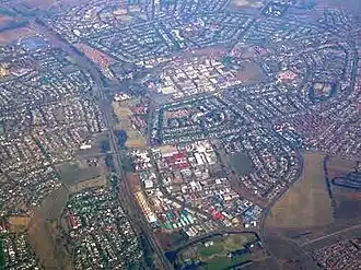
Emfuleni (officieel Emfuleni Local Municipality) is een gemeente in het Zuid-Afrikaanse district Sedibeng. Emfuleni ligt in de provincie Gauteng en telt 945.650 inwoners.
Emfuleni heeft een stedenband met Eindhoven (Nederland).
Hoofdplaatsen
Het nationaal instituut voor de statistiek, Stats SA, deelt sinds de census 2011 deze gemeente in in 14 zogenaamde hoofdplaatsen (main place)[1]:
Boipatong • Bophelong • Emfuleni NU • Evaton • Golden Gardens • Johandeo • Lakeside • Sebokeng • Sharpeville • Stretford • Tshepiso • Vaal Oewer • Vanderbijlpark • Vereeniging.
Externe link
Bronnen, noten en/of referenties