Pays-d'Enhaut
| District in Zwitserland | |||
|---|---|---|---|
 | |||
| |||
| Situering | |||
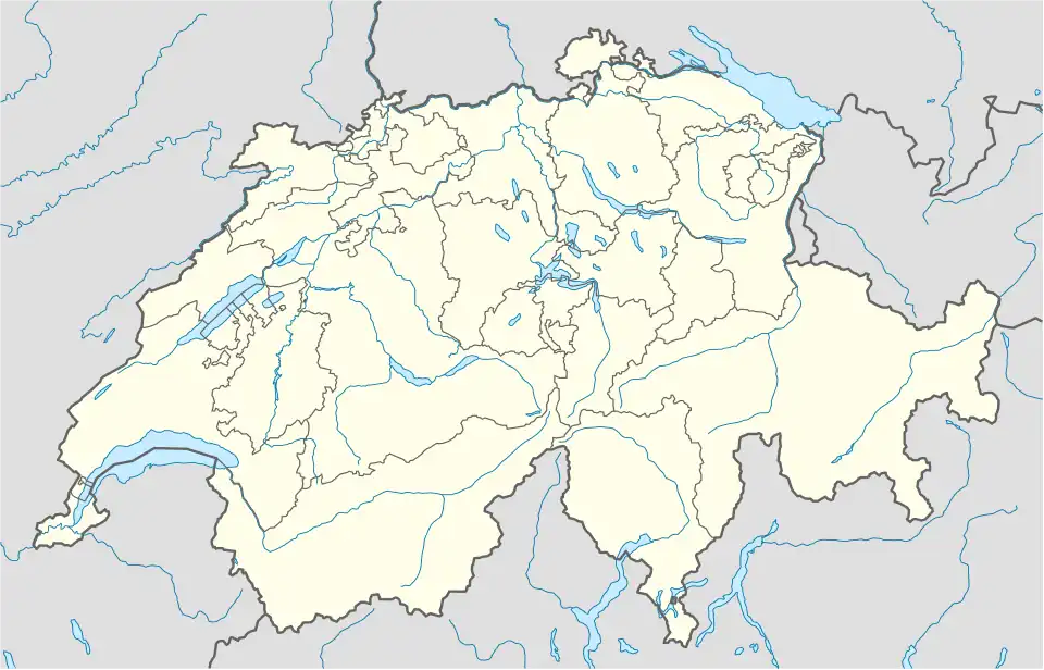
| Kanton | Vaud | ||
| BFS/OFS/UST-code | 2215 | ||
| Coördinaten | 46°28'NB, 7°8'OL | ||
| Algemeen | |||
| Oppervlakte | 185,66 km² | ||
| Inwoners (31 dec. 2006) |
4537 | ||
| Detailkaart | |||

| |||
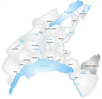
| Gemeenten van het district Pays-d'Enhaut | |||
| |||
Het district Pays-d'Enhaut (Frans: District de Pays-d'Enhaut, Duits: Bezirk Pays-d'Enhaut) is een voormalige administratieve eenheid binnen het kanton Vaud. De hoofdplaats is Château-d'Œx. Het district is in de cirkels (Frans: Cercle) Château-d'Œx en Rougemont opgesplitst. In 2008 tijdens de districtelijke herindelingen is het district opgeheven en is opgegaan in het nieuwe district Riviera-Pays-d'Enhaut.
Het district bestaat uit drie gemeenten, heeft een oppervlakte van 185,66 km² en heeft 4537 inwoners (eind 2006).
| Cercle de Château-d'Œx | ||||
|---|---|---|---|---|
| Gemeentenaam | Inwoners (31.12.2006) | Oppervlakte (km²) | ||
| Château-d'Œx | 3139 | 113,76 | ||
| Cercle de Rougemont | ||||
|---|---|---|---|---|
| Gemeentenaam | Inwoners (31.12.2006) | Oppervlakte (km²) | ||
| Rossinière | 506 | 23,34 | ||
| Rougemont | 892 | 48,56 | ||