Yéréré
| Commune in Mali | |||
|---|---|---|---|
 | |||
| |||
| Situering | |||
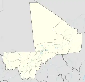
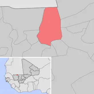
| Regio | Kayes | ||
| Cercle | Nioro du Sahel | ||
| Coördinaten | 15° 15′ NB, 9° 26′ WL | ||
| Algemeen | |||
| Oppervlakte | 300 km² | ||
| Inwoners (2009[1]) |
13.487 (45 inw./km²) | ||
| Hoogte | 205 m | ||
| |||
Yéréré is een gemeente (commune) in de regio Kayes in Mali. De gemeente telt 13.500 inwoners (2009).
De gemeente bestaat uit de volgende plaatsen:
- Boulou Abeïdatt
- Boulou Rangabé
- Boulou Mourgoula
- Diébaly
- Djinthié
- Korokodio
- Kamané Kaarta
- Kouroukéré
- Nomo
- Yéréré
Bronnen, noten en/of referenties