Widford (Hertfordshire)
| Civil parish in Engeland | |||
|---|---|---|---|
 | |||
| Situering | |||
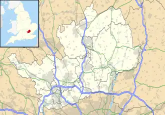
| Regio | East of England | ||
| Graafschap | Hertfordshire | ||
| District | East Hertfordshire | ||
| Coördinaten | 51° 49' NB, 0° 4' OL | ||
| Algemeen | |||
| Oppervlakte | 4,7215 km² | ||
| Inwoners (2011) |
534 (113 inw./km²) | ||
| Overig | |||
| ONS-code | E04004760 | ||
| Foto's | |||

| |||
| Johannes-de-Doper-kerk | |||
| |||
Widford is een civil parish in het bestuurlijke gebied East Hertfordshire, in het Engelse graafschap Hertfordshire. In 2001 telde het dorp 507 inwoners.[1] Widford komt in het Domesday Book (1086) voor als 'Wideford(e)'.[2]
Bronnen, noten en/of referenties
- ↑ Neighbourhood Statistics
- ↑ Hertfordshire, The Doomesday Book Online.