Whitley County (Indiana)
| County in de Verenigde Staten | |||
|---|---|---|---|
| |||
| Situering | |||
| Staat | Indiana | ||
| Coördinaten | 41°8'24"NB, 85°30'0"WL | ||
| Algemeen | |||
| Oppervlakte | 875 km² | ||
| - land | 869 km² | ||
| - water | 6 km² | ||
| Inwoners (2000) |
30.707 (35 inw./km²) | ||
| Overig | |||
| Zetel | Columbia City | ||
| FIPS-code | 18183 | ||
| Opgericht | 1835 | ||
| Website | whitleygov | ||
| Foto's | |||

| |||
 Bevolkingspiramide Whitley County | |||
| Statistieken volkstelling Whitley County | |||
| |||
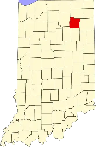
Whitley County is een county in de Amerikaanse staat Indiana.
De county heeft een landoppervlakte van 869 km² en telt 30.707 inwoners (volkstelling 2000). De hoofdplaats is Columbia City.
Bevolkingsontwikkeling
| Jaar | Inwoners | % ± | |
|---|---|---|---|
| 1900 | 17.328 | — | |
| 1910 | 16.892 | −2,5% | |
| 1920 | 15.660 | −7,3% | |
| 1930 | 15.931 | 1,7% | |
| 1940 | 17.001 | 6,7% | |
| 1950 | 18.828 | 10,7% | |
| 1960 | 20.954 | 11,3% | |
| 1970 | 23.395 | 11,6% | |
| 1980 | 26.215 | 12,1% | |
| 1990 | 27.651 | 5,5% | |
| 2000 | 30.707 | 11,1% | |
| Bron: (en) Historical Decennial Census Population | |||