Union County (Indiana)
| County in de Verenigde Staten | |||
|---|---|---|---|
| |||
| Situering | |||
| Staat | Indiana | ||
| Coördinaten | 39°37'12"NB, 84°55'12"WL | ||
| Algemeen | |||
| Oppervlakte | 428 km² | ||
| - land | 418 km² | ||
| - water | 10 km² | ||
| Inwoners (2000) |
7.349 (18 inw./km²) | ||
| Overig | |||
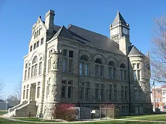
| Zetel | Liberty | ||
| FIPS-code | 18161 | ||
| Opgericht | 1821 | ||
| Website | www | ||
| Foto's | |||
| |||
| Statistieken volkstelling Union County | |||
| |||
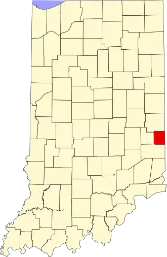
Union County is een county in de Amerikaanse staat Indiana.
De county heeft een landoppervlakte van 418 km² en telt 7.349 inwoners (volkstelling 2000). De hoofdplaats is Liberty.
Bevolkingsontwikkeling
| Jaar | Inwoners | % ± | |
|---|---|---|---|
| 1900 | 6.748 | — | |
| 1910 | 6.260 | −7,2% | |
| 1920 | 6.021 | −3,8% | |
| 1930 | 5.880 | −2,3% | |
| 1940 | 6.017 | 2,3% | |
| 1950 | 6.412 | 6,6% | |
| 1960 | 6.457 | 0,7% | |
| 1970 | 6.582 | 1,9% | |
| 1980 | 6.860 | 4,2% | |
| 1990 | 6.976 | 1,7% | |
| 2000 | 7.349 | 5,3% | |
| Bron: (en) Historical Decennial Census Population | |||