Thorpe Underwoods
| Civil parish in Engeland | |||
|---|---|---|---|
.svg.png) | |||
| Situering | |||
| Regio | Yorkshire and the Humber | ||
| Graafschap | North Yorkshire | ||
| District | Harrogate | ||
| Coördinaten | 54° 2' NB, 1° 17' WL | ||
| Algemeen | |||
| Oppervlakte | 16,4131 km² | ||
| Inwoners (2011) |
793 (48 inw./km²) | ||
| Overig | |||
| Grid code | SE465594 | ||
| ONS-code | E04007429 | ||
| Foto's | |||
| |||
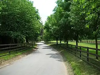
| Laan in Thorpe Underwoods | |||
| |||
Thorpe Underwoods of Thorpe Underwood[1] is een civil parish in het bestuurlijke gebied Harrogate, in het Engelse graafschap North Yorkshire. In 2011 telde de civil parish 793 inwoners.[2] Thorpe Underwood komt in het Domesday Book (1086) voor als 'Tuadestorp'.[3]
Externe link
Bronnen, noten en/of referenties
- ↑ (en) Geograph, geograph.org.uk, geraadpleegd 27 juni 2014.
- ↑ (en) Office for National Statistics, geraadpleegd 27 juni 2014.
- ↑ (en) National Archives, geraadpleegd 27 juni 2014.
Geplaatst op:
01-02-2014
01-02-2014
Dit artikel is een beginnetje over landen & volken. U wordt uitgenodigd om op bewerken te klikken om uw kennis aan dit artikel toe te voegen.