Telfair County
| County in de Verenigde Staten | |||
|---|---|---|---|
| |||
| Situering | |||
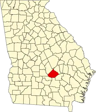
| Staat | Georgia | ||
| Coördinaten | 31°55'48"NB, 82°56'24"WL | ||
| Algemeen | |||
| Oppervlakte | 1.150 km² | ||
| - land | 1.142 km² | ||
| - water | 8 km² | ||
| Inwoners (2000) |
12.447 (11 inw./km²) | ||
| Overig | |||
| Zetel | McRae | ||
| FIPS-code | 13271 | ||
| Opgericht | 1807 | ||
| Website | www | ||
| Foto's | |||

| |||
 Bevolkingspiramide Telfair County | |||
| Statistieken volkstelling Telfair County | |||
| |||
Telfair County is een county in de Amerikaanse staat Georgia.
De county heeft een landoppervlakte van 1.142 km² en telt 12.447 inwoners (volkstelling 2020). De hoofdplaats is McRae.
Bevolkingsontwikkeling
| Jaar | Inwoners | % ± | |
|---|---|---|---|
| 1900 | 10.083 | — | |
| 1910 | 13.288 | 31,8% | |
| 1920 | 15.291 | 15,1% | |
| 1930 | 14.997 | −1,9% | |
| 1940 | 15.145 | 1,0% | |
| 1950 | 13.221 | −12,7% | |
| 1960 | 11.715 | −11,4% | |
| 1970 | 11.381 | −2,9% | |
| 1980 | 11.445 | 0,6% | |
| 1990 | 11.000 | −3,9% | |
| 2000 | 11.794 | 7,2% | |
| 2010 | 16.500 | 39,9% | |
| 2020 | 12.447 | −24,6% | |
| Bron: (en) Historical Decennial Census Population | |||