Tambaga
| Commune in Mali | |||
|---|---|---|---|
 | |||
| |||
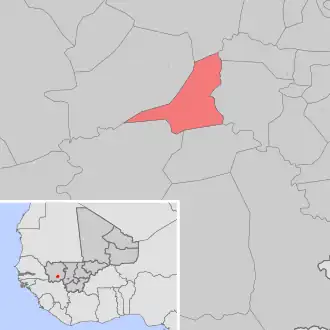
| Situering | |||
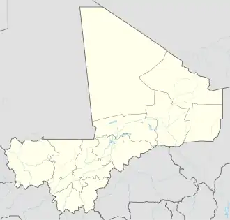
| Regio | Kayes | ||
| Cercle | Kita | ||
| Coördinaten | 12° 58′ NB, 9° 52′ WL | ||
| Algemeen | |||
| Oppervlakte | 502 km² | ||
| Inwoners (2009[1]) |
10.482 (21 inw./km²) | ||
| Hoogte | 322 m | ||
| |||
Tambaga is een gemeente (commune) in de regio Kayes in Mali. De gemeente telt 10.500 inwoners (2009).
De gemeente bestaat uit de volgende plaatsen:
- Djiniagué
- Faramansonia
- Kantila
- Katabantankoto
- Katakoto
- Kobaronto
- Kouloubou
- Kourounouna
- Sékokoto
- Tambaga
Bronnen, noten en/of referenties