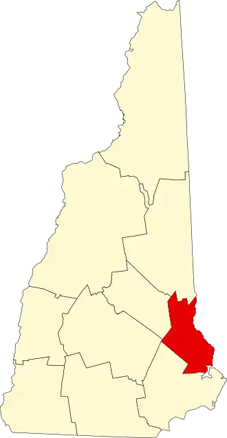
Strafford County
| County in de Verenigde Staten | |||
|---|---|---|---|
| |||
| Situering | |||
| Staat | New Hampshire | ||
| Coördinaten | 43°15'29,840"NB, 70°58'33,978"WL | ||
| Algemeen | |||
| Oppervlakte | 994 km² | ||
| - land | 955 km² | ||
| - water | 39 km² | ||
| Inwoners (2000) |
112.233 (118 inw./km²) | ||
| Overig | |||
| Zetel | Dover | ||
| FIPS-code | 33017 | ||
| Opgericht | 1771 | ||
| Website | www | ||
| Foto's | |||

| |||
 Bevolkingspiramide Strafford County | |||
| Statistieken volkstelling Strafford County | |||
| |||
Strafford County is een county in de Amerikaanse staat New Hampshire.
De county heeft een landoppervlakte van 955 km² en telt 112.233 inwoners (volkstelling 2000). De hoofdplaats is Dover.
Bevolkingsontwikkeling
| Jaar | Inwoners | % ± | |
|---|---|---|---|
| 1900 | 39.337 | — | |
| 1910 | 38.951 | −1,0% | |
| 1920 | 38.546 | −1,0% | |
| 1930 | 38.580 | 0,1% | |
| 1940 | 43.553 | 12,9% | |
| 1950 | 51.567 | 18,4% | |
| 1960 | 59.799 | 16,0% | |
| 1970 | 70.431 | 17,8% | |
| 1980 | 85.408 | 21,3% | |
| 1990 | 104.233 | 22,0% | |
| 2000 | 112.233 | 7,7% | |
| Bron: (en) Historical Decennial Census Population | |||