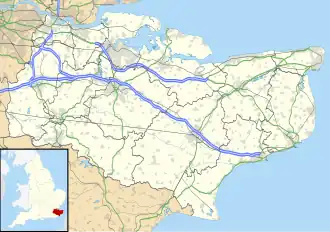
Stanford (Kent)
| Civil parish in Engeland | |||
|---|---|---|---|
 | |||
| Situering | |||
| Regio | South East England | ||
| Graafschap | Kent | ||
| District | Folkestone & Hythe | ||
| Coördinaten | 51° 6' NB, 1° 2' OL | ||
| Algemeen | |||
| Oppervlakte | 4,8102 km² | ||
| Inwoners (2011) |
429 (89 inw./km²) | ||
| Overig | |||
| ONS-code | E04005036 | ||
| Foto's | |||
| |||
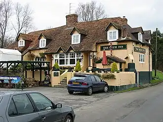
| The Drum Inn | |||
| |||
Stanford is een civil parish in het bestuurlijke gebied Folkestone & Hythe, in het Engelse graafschap Kent.
-
 All Saints Church, Stanford
Bronnen, noten en/of referenties
Geplaatst op:
13-8-2010
13-8-2010
Dit artikel is een beginnetje over landen & volken. U wordt uitgenodigd om op bewerken te klikken om uw kennis aan dit artikel toe te voegen.