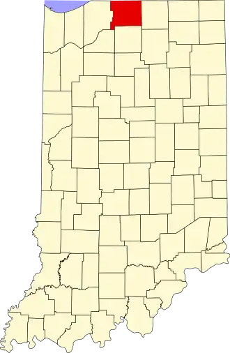
St. Joseph County (Indiana)
| County in de Verenigde Staten | |||
|---|---|---|---|
| |||
| Situering | |||
| Staat | Indiana | ||
| Coördinaten | 41°37'0,19"NB, 86°17'23,50"WL | ||
| Algemeen | |||
| Oppervlakte | 1.194 km² | ||
| - land | 1.185 km² | ||
| - water | 9 km² | ||
| Inwoners (2000) |
265.559 (224 inw./km²) | ||
| Overig | |||
| Zetel | South Bend | ||
| FIPS-code | 18141 | ||
| Opgericht | 1830 | ||
| Website | www | ||
| Foto's | |||

| |||
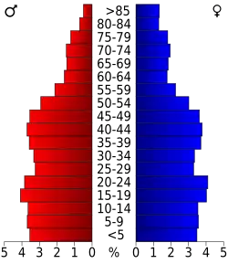 Bevolkingspiramide St. Joseph County | |||
| Statistieken volkstelling St. Joseph County | |||
| |||
St. Joseph County is een county in de Amerikaanse staat Indiana.
De county heeft een landoppervlakte van 1.185 km² en telt 265.559 inwoners (volkstelling 2000). De hoofdplaats is South Bend.
Bevolkingsontwikkeling
| Jaar | Inwoners | % ± | |
|---|---|---|---|
| 1900 | 58.881 | — | |
| 1910 | 84.312 | 43,2% | |
| 1920 | 103.304 | 22,5% | |
| 1930 | 160.033 | 54,9% | |
| 1940 | 161.823 | 1,1% | |
| 1950 | 205.058 | 26,7% | |
| 1960 | 238.614 | 16,4% | |
| 1970 | 245.045 | 2,7% | |
| 1980 | 241.617 | −1,4% | |
| 1990 | 247.052 | 2,2% | |
| 2000 | 265.559 | 7,5% | |
| Bron: (en) Historical Decennial Census Population | |||
