South Lopham
| Civil parish in Engeland | |||
|---|---|---|---|
 | |||
| Situering | |||
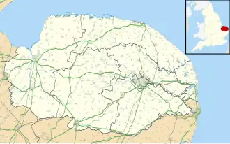
| Regio | East of England | ||
| Graafschap | Norfolk | ||
| District | Breckland | ||
| Coördinaten | 52° 24' NB, 1° 0' OL | ||
| Algemeen | |||
| Oppervlakte | 7,9077 km² | ||
| Inwoners (2011) |
393 (50 inw./km²) | ||
| Overig | |||
| Postcode(s) | IP22 | ||
| Grid code | TM043814 | ||
| Post town | DISS | ||
| ONS-code | E04006172 | ||
| Website | south-lophampc | ||
| Foto's | |||
| |||
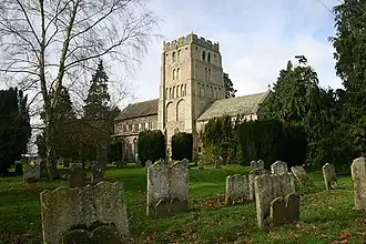
| Kerk van South Lopham | |||
| |||
South Lopham is een civil parish in het bestuurlijke gebied Breckland, in het Engelse graafschap Norfolk met 393 inwoners.
Geplaatst op:
14-8-2010
14-8-2010
Dit artikel is een beginnetje over landen & volken. U wordt uitgenodigd om op bewerken te klikken om uw kennis aan dit artikel toe te voegen.