Sirakoro
| Commune in Mali | |||
|---|---|---|---|
 | |||
| |||
| Situering | |||
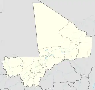
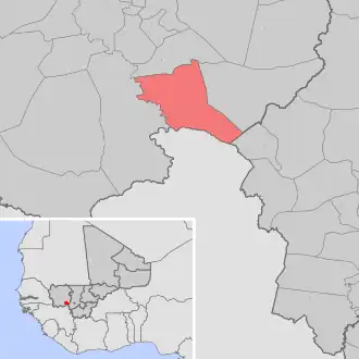
| Regio | Kayes | ||
| Cercle | Kita | ||
| Coördinaten | 13° 26′ NB, 9° 9′ WL | ||
| Algemeen | |||
| Inwoners (2009[1]) |
10.598 | ||
| Hoogte | 376 m | ||
| |||
Sirakoro is een gemeente (commune) in de regio Kayes in Mali. De gemeente telt 10.600 inwoners (2009).
De gemeente bestaat uit de volgende plaatsen:
- Bayala
- Dalala
- Faraba I
- Faraba II
- Kokourouni
- Kolinkourounda
- Konofaye
- Mourgoula
- Neroumba
- Sirakoro
Bronnen, noten en/of referenties