Shrewsbury and Atcham
| District in Engeland | |||
|---|---|---|---|
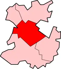 Locatie in Shropshire Locatie in Shropshire
| |||
| Situering | |||
| Land | Engeland | ||
| County | Shropshire | ||
| Regio | West Midlands | ||
| Coördinaten | 52°37'41"NB, 2°45'32"WL | ||
| Algemeen | |||
| Oppervlakte | 601,6 km² | ||
| Inwoners (2001) |
95.850 (159 inw./km²) | ||
| ONS-code | 39UE | ||
| Website | www | ||
| |||
Shrewsbury and Atcham was tot 2009 een Engels district in het graafschap Shropshire en telde 95.850 inwoners. De oppervlakte bedraagt 601,6 km².
Van de bevolking is 17,2% ouder dan 65 jaar. De werkloosheid bedraagt 2,4% van de beroepsbevolking (cijfers volkstelling 2001).
Plaatsen in district Shrewsbury and Atcham
- Atcham
- Bayston Hill
- Bomere Heath
- Condover
- Cressage
- Ford
- Minsterley
- Nesscliffe
- Pontesbury
- Shrewsbury
- Uffington
- Westbury
- Wroxeter
Bronnen, noten en/of referenties