São Francisco do Oeste
| Gemeente in Brazilië | |||
|---|---|---|---|
.PNG) | |||
 | |||
| Situering | |||
| Regio | Noordoost | ||
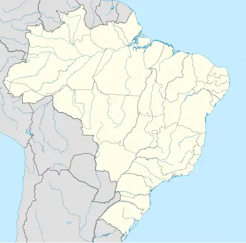
| Staat | Rio Grande do Norte | ||
| Mesoregio | Oeste Potiguar | ||
| Microregio | Pau dos Ferros | ||
| Coördinaten | 05° 59′ ZB, 38° 9′ WL | ||
| Algemeen | |||
| Oppervlakte | 75,550 km² | ||
| Inwoners (2009) |
3.807 (52,8 inw./km²) | ||
| Gemeentenummer | 2411908 | ||
| Politiek | |||
| Burgemeester | Aníbal Lopes de Freitas | ||
| Gesticht | 1963 | ||
| Overig | |||
| Tijdzone | UTC−3 | ||
| HDI | 0,652 | ||
| Detailkaart | |||
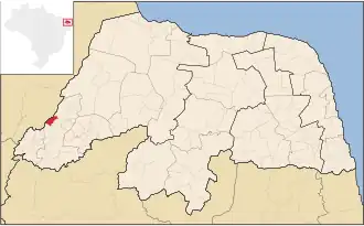
| |||
| Locatie van São Francisco in de staat Rio Grande do Norte | |||
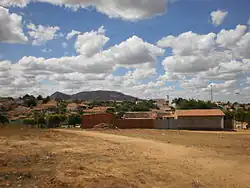
| Foto's | |||
.jpg)
| |||
| Het plein met Katholieke kerk en standbeeld van São Francisco de Assis | |||
| |||
São Francisco do Oeste is een gemeente in de Braziliaanse deelstaat Rio Grande do Norte. De gemeente telt 3.807 inwoners (schatting 2009).
Galerij
-
 São Francisco do Oeste
 -
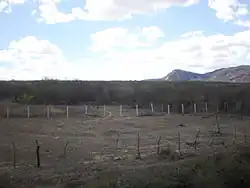
-
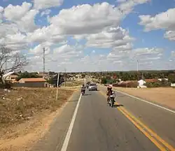 BR-405 bij São Francisco do Oeste
Bronnen, noten en/of referenties