Rubiataba
| Gemeente in Brazilië | |||
|---|---|---|---|
  | |||
 | |||
| Situering | |||
| Regio | Centraal-West | ||
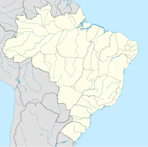
| Staat | Goiás | ||
| Mesoregio | Centro Goiano | ||
| Microregio | Ceres | ||
| Coördinaten | 15° 10′ ZB, 49° 48′ WL | ||
| Algemeen | |||
| Oppervlakte | 748,273 km² | ||
| Inwoners (2009) |
18.618 (25,6 inw./km²) | ||
| Hoogte | 632 m | ||
| Gemeentenummer | 5218904 | ||
| Politiek | |||
| Burgemeester | José Luiz Fernandes | ||
| Gesticht | 12 oktober 1953 | ||
| Overig | |||
| Tijdzone | UTC−3 | ||
| HDI | 0,748 | ||
| Website | rubiataba.go.gov.br | ||
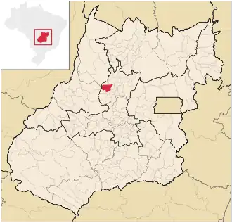
| Detailkaart | |||
| |||
| Locatie van Rubiataba in de staat Goiás | |||
| Foto's | |||
.jpg)
| |||
| |||
Rubiataba is een gemeente in de Braziliaanse deelstaat Goiás. De gemeente telt 18.618 inwoners (schatting 2009).
De plaats is zetel van het rooms-katholieke bisdom Rubiataba-Mozarlândia.
Bronnen, noten en/of referenties