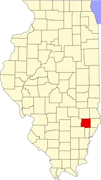
Richland County (Illinois)
| County in de Verenigde Staten | |||
|---|---|---|---|
| |||
| Situering | |||
| Staat | Illinois | ||
| Coördinaten | 38°42'36"NB, 88°5'24"WL | ||
| Algemeen | |||
| Oppervlakte | 938 km² | ||
| - land | 933 km² | ||
| - water | 5 km² | ||
| Inwoners (2000) |
16.149 (17 inw./km²) | ||
| Overig | |||
| Zetel | Olney | ||
| FIPS-code | 17159 | ||
| Opgericht | 1841 | ||
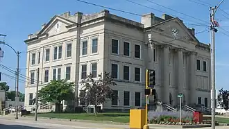
| Foto's | |||
| |||
| Statistieken volkstelling Richland County | |||
| |||
Richland County is een county in de Amerikaanse staat Illinois.
De county heeft een landoppervlakte van 933 km² en telt 16.149 inwoners (volkstelling 2000). De hoofdplaats is Olney.
Bevolkingsontwikkeling
| Jaar | Inwoners | % ± | |
|---|---|---|---|
| 1900 | 16.391 | — | |
| 1910 | 15.970 | −2,6% | |
| 1920 | 14.044 | −12,1% | |
| 1930 | 14.053 | 0,1% | |
| 1940 | 17.137 | 21,9% | |
| 1950 | 16.889 | −1,4% | |
| 1960 | 16.299 | −3,5% | |
| 1970 | 16.829 | 3,3% | |
| 1980 | 17.587 | 4,5% | |
| 1990 | 16.545 | −5,9% | |
| 2000 | 16.149 | −2,4% | |
| Bron: (en) Historical Decennial Census Population | |||