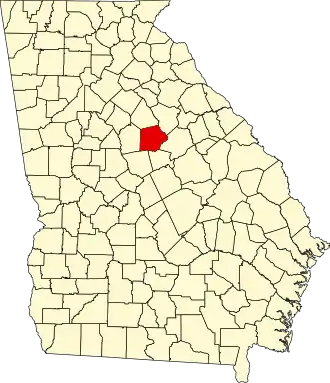
Putnam County (Georgia)
| County in de Verenigde Staten | |||
|---|---|---|---|
| |||
| Situering | |||
| Staat | Georgia | ||
| Coördinaten | 33°19'12"NB, 83°22'12"WL | ||
| Algemeen | |||
| Oppervlakte | 934 km² | ||
| - land | 892 km² | ||
| - water | 42 km² | ||
| Inwoners (2000) |
18.812 (21 inw./km²) | ||
| Overig | |||
| Zetel | Eatonton | ||
| FIPS-code | 13237 | ||
| Opgericht | 1807 | ||
| Website | www | ||
| Foto's | |||

| |||
 Bevolkingspiramide Putnam County | |||
| Statistieken volkstelling Putnam County | |||
| |||
Putnam County is een county in de Amerikaanse staat Georgia.
De county heeft een landoppervlakte van 892 km² en telt 18.812 inwoners (volkstelling 2000). De hoofdplaats is Eatonton.
Bevolkingsontwikkeling
| Jaar | Inwoners | % ± | |
|---|---|---|---|
| 1900 | 13.436 | — | |
| 1910 | 13.876 | 3,3% | |
| 1920 | 15.151 | 9,2% | |
| 1930 | 8.367 | −44,8% | |
| 1940 | 8.514 | 1,8% | |
| 1950 | 7.731 | −9,2% | |
| 1960 | 7.798 | 0,9% | |
| 1970 | 8.394 | 7,6% | |
| 1980 | 10.295 | 22,6% | |
| 1990 | 14.137 | 37,3% | |
| 2000 | 18.812 | 33,1% | |
| Bron: (en) Historical Decennial Census Population | |||