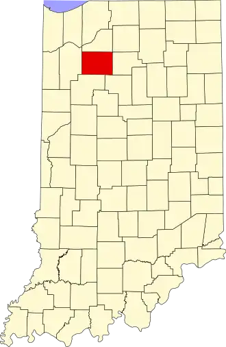
Pulaski County (Indiana)
| County in de Verenigde Staten | |||
|---|---|---|---|
| |||
| Situering | |||
| Staat | Indiana | ||
| Coördinaten | 41°2'24"NB, 86°41'24"WL | ||
| Algemeen | |||
| Oppervlakte | 1.125 km² | ||
| - land | 1.123 km² | ||
| - water | 2 km² | ||
| Inwoners (2000) |
13.755 (12 inw./km²) | ||
| Overig | |||
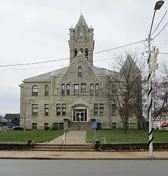
| Zetel | Winamac | ||
| FIPS-code | 18131 | ||
| Opgericht | 1835 | ||
| Website | www | ||
| Foto's | |||
| |||
 Bevolkingspiramide Pulaski County | |||
| Statistieken volkstelling Pulaski County | |||
| |||
Pulaski County is een county in de Amerikaanse staat Indiana.
De county heeft een landoppervlakte van 1.123 km² en telt 13.755 inwoners (volkstelling 2000). De hoofdplaats is Winamac.
Bevolkingsontwikkeling
| Jaar | Inwoners | % ± | |
|---|---|---|---|
| 1900 | 14.033 | — | |
| 1910 | 13.312 | −5,1% | |
| 1920 | 12.385 | −7,0% | |
| 1930 | 11.195 | −9,6% | |
| 1940 | 12.056 | 7,7% | |
| 1950 | 12.493 | 3,6% | |
| 1960 | 12.837 | 2,8% | |
| 1970 | 12.534 | −2,4% | |
| 1980 | 13.258 | 5,8% | |
| 1990 | 12.643 | −4,6% | |
| 2000 | 13.755 | 8,8% | |
| Bron: (en) Historical Decennial Census Population | |||