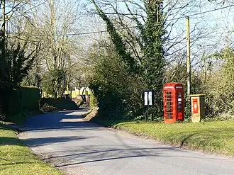
Patney
| Civil parish in Engeland | |||
|---|---|---|---|
 | |||
| Situering | |||
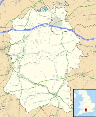
| Regio | South West England | ||
| Graafschap | Wiltshire | ||
| District | Wiltshire | ||
| Coördinaten | 51° 19' NB, 1° 54' WL | ||
| Algemeen | |||
| Oppervlakte | 3,5976 km² | ||
| Inwoners (2011) |
155 (43 inw./km²) | ||
| Overig | |||
| ONS-code | E04011794 | ||
| Website | www | ||
| Foto's | |||
| |||
| |||
Patney is een civil parish in de unitary authority Wiltshire, in het Engelse graafschap Wiltshire. De civil parish telt 155 inwoners.
Aangrenzende plaatsen
| Aangrenzende plaatsen | ||||
|---|---|---|---|---|
| Etchilhampton | All Cannings | Stanton Saint Bernard | ||

|
||||
| Stert | Woodborough | |||
| Urchfont | Chirton | Marden | ||
Verkeer en vervoer
Spoorwegen
Patney had tot 1966 een halte (Station Patney and Chirton) aan de Reading-Plymouth Line.
Bronnen, noten en/of referenties