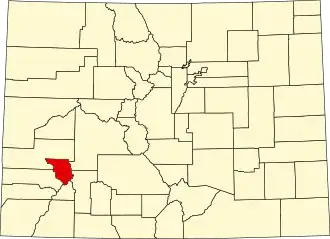
Ouray County
| County in de Verenigde Staten | |||
|---|---|---|---|
| |||
| Situering | |||
| Staat | Colorado | ||
| Coördinaten | 38°9'36"NB, 107°46'12"WL | ||
| Algemeen | |||
| Oppervlakte | 1.405 km² | ||
| - land | 1.400 km² | ||
| - water | 5 km² | ||
| Inwoners (2000) |
3.742 (3 inw./km²) | ||
| Overig | |||
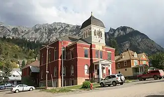
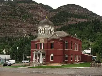
| Zetel | Ouray | ||
| FIPS-code | 08091 | ||
| Opgericht | 1877 | ||
| Website | www | ||
| Foto's | |||
| |||
 Bevolkingspiramide Ouray County | |||
| Statistieken volkstelling Ouray County | |||
| |||
Ouray County is een county in de Amerikaanse staat Colorado.
De county heeft een landoppervlakte van 1.400 km² en telt 3.742 inwoners (volkstelling 2000). De hoofdplaats is Ouray.
Bevolkingsontwikkeling
| Jaar | Inwoners | % ± | |
|---|---|---|---|
| 1900 | 4.731 | — | |
| 1910 | 3.514 | −25,7% | |
| 1920 | 2.620 | −25,4% | |
| 1930 | 1.784 | −31,9% | |
| 1940 | 2.089 | 17,1% | |
| 1950 | 2.103 | 0,7% | |
| 1960 | 1.601 | −23,9% | |
| 1970 | 1.546 | −3,4% | |
| 1980 | 1.925 | 24,5% | |
| 1990 | 2.295 | 19,2% | |
| 2000 | 3.742 | 63,1% | |
| Bron: (en) Historical Decennial Census Population | |||