Orobó
| Gemeente in Brazilië | |||
|---|---|---|---|
  | |||
 | |||
| Situering | |||
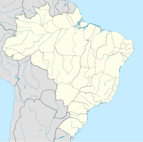
| Regio | Noordoost | ||
| Staat | Pernambuco | ||
| Mesoregio | Agreste Pernambucano | ||
| Microregio | Médio Capibaribe | ||
| Coördinaten | 07° 45′ ZB, 35° 36′ WL | ||
| Algemeen | |||
| Oppervlakte | 141 km² | ||
| Inwoners (2009) |
22.239 (154 inw./km²) | ||
| Hoogte | 415 m | ||
| Politiek | |||
| Burgemeester | Manoel João dos Santos Filho | ||
| Gesticht | 1928 | ||
| Overig | |||
| Tijdzone | UTC−3 | ||
| HDI | 0,612 | ||
| Website | orobo.pe.gov.br | ||
| Detailkaart | |||
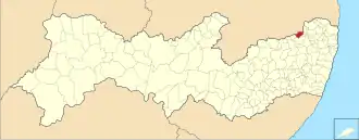
| |||
| Locatie van Orobó in de staat Pernambuco | |||
| Foto's | |||
| |||
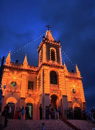
| De verlichte katholieke kerk Nossa Senhora da Conceição in het centrum van Orobó | |||
| |||
Orobó is een gemeente in de Braziliaanse deelstaat Pernambuco. De gemeente telt 22.239 inwoners (schatting 2009).
Bronnen, noten en/of referenties