Moultrie County
| County in de Verenigde Staten | |||
|---|---|---|---|
| |||
| Situering | |||
| Staat | Illinois | ||
| Coördinaten | 39°38'24"NB, 88°37'12"WL | ||
| Algemeen | |||
| Oppervlakte | 892 km² | ||
| - land | 869 km² | ||
| - water | 23 km² | ||
| Inwoners (2000) |
14.287 (16 inw./km²) | ||
| Overig | |||
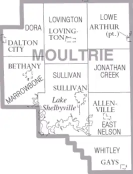
| Zetel | Sullivan | ||
| FIPS-code | 17139 | ||
| Opgericht | 1843 | ||
| Website | www | ||
| Detailkaart | |||
| |||
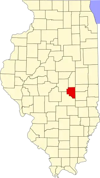
| Overzichtskaart van Moultrie County | |||
| Foto's | |||

| |||
| Statistieken volkstelling Moultrie County | |||
| |||
Moultrie County is een county in de Amerikaanse staat Illinois.
De county heeft een landoppervlakte van 869 km² en telt 14.287 inwoners (volkstelling 2000). De hoofdplaats is Sullivan.
Bevolkingsontwikkeling
| Jaar | Inwoners | % ± | |
|---|---|---|---|
| 1900 | 15.224 | — | |
| 1910 | 14.630 | −3,9% | |
| 1920 | 14.839 | 1,4% | |
| 1930 | 13.247 | −10,7% | |
| 1940 | 13.477 | 1,7% | |
| 1950 | 13.171 | −2,3% | |
| 1960 | 13.635 | 3,5% | |
| 1970 | 13.263 | −2,7% | |
| 1980 | 14.546 | 9,7% | |
| 1990 | 13.930 | −4,2% | |
| 2000 | 14.287 | 2,6% | |
| Bron: (en) Historical Decennial Census Population | |||