Montmirail (Sarthe)
| Gemeente in Frankrijk | |||
|---|---|---|---|
.svg.png) | |||
 | |||
| Situering | |||
| Regio | Pays de la Loire | ||
| Departement | Sarthe (72) | ||
| Arrondissement | Mamers | ||
| Kanton | Saint-Calais | ||
| Coördinaten | 48° 6′ NB, 0° 48′ OL | ||
| Algemeen | |||
| Oppervlakte | 12,53 km² | ||
| Inwoners (1 januari 2022) |
369[1] (29 inw./km²) | ||
| Hoogte | 122 - 227 m | ||
| Overig | |||
| Postcode | 72320 | ||
| INSEE-code | 72208 | ||
| Website | Officiële website | ||
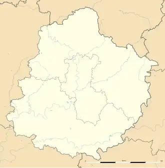
| Detailkaart | |||
 | |||
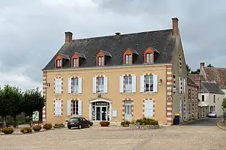
| Foto's | |||
| |||
| Gemeentehuis | |||
| |||
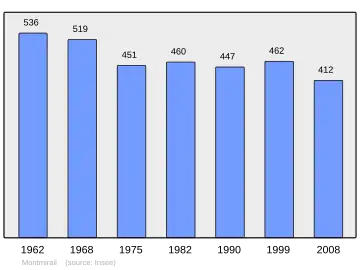
Montmirail is een gemeente in het Franse departement Sarthe (regio Pays de la Loire) en telt 462 inwoners (1999). De plaats maakt deel uit van het arrondissement Mamers.
-
.jpg) Kasteel van Montmirail
Kasteel van Montmirail
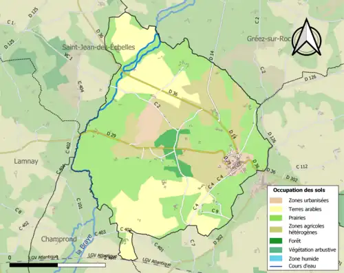
Geografie
De oppervlakte van Montmirail bedraagt 12,4 km², de bevolkingsdichtheid is 37,3 inwoners per km².
Demografie
Onderstaande figuur toont het verloop van het inwonertal (bron: INSEE-tellingen).
Externe links
- (fr) Statistische informatie op de website van het Franse bureau voor statistiek INSEE
Zie de categorie Montmirail (Sarthe) van Wikimedia Commons voor mediabestanden over dit onderwerp.
- ↑ Populations de référence 2022.