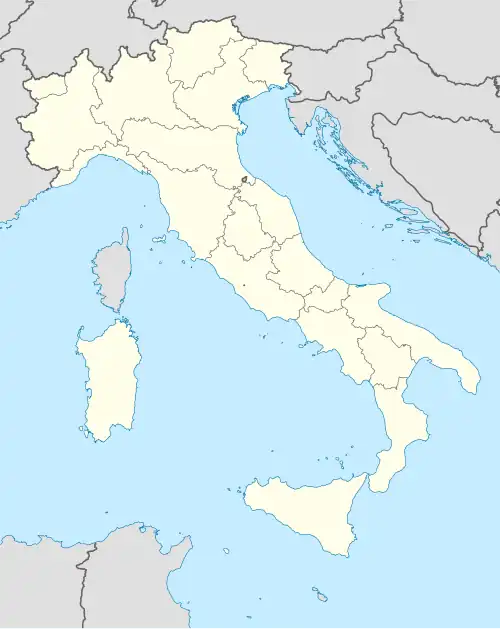
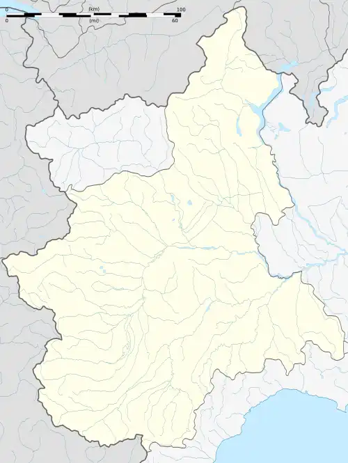
Monticello d'Alba
| Gemeente in Italië | |||
|---|---|---|---|
 | |||
 | |||
| Situering | |||
| Regio | Piëmont (PMN) | ||
| Provincie | Cuneo (CN) | ||
| Coördinaten | 44° 43′ NB, 7° 57′ OL | ||
| Algemeen | |||
| Oppervlakte | 10,1 km² | ||
| Inwoners (1 januari 2023) |
2.325[1] (198 inw./km²) | ||
| Overig | |||
| Postcode | 12066 | ||
| Netnummer | 0173 | ||
| ISTAT-code | 004142 | ||
| Website | http://www.comune.monticellodalba.cn.it | ||
| Detailkaart | |||
 | |||
| Foto's | |||
| |||
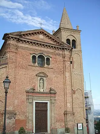
| Kerk van Monticello | |||
| |||
Monticello d'Alba is een gemeente in de Italiaanse provincie Cuneo (regio Piëmont) en telt 2003 inwoners (31-12-2004). De oppervlakte bedraagt 10,1 km², de bevolkingsdichtheid is 198 inwoners per km².
Demografie
Monticello d'Alba telt ongeveer 788 huishoudens. Het aantal inwoners steeg in de periode 1991-2001 met 8,6% volgens cijfers uit de tienjaarlijkse volkstellingen van ISTAT.
| Jaar | Inwoneraantal |
|---|---|
| 1991 | 1760 |
| 2001 | 1911 |
Geografie
Monticello d'Alba grenst aan de volgende gemeenten: Alba, Corneliano d'Alba, Pocapaglia, Roddi, Santa Vittoria d'Alba, Sommariva Perno.
Bronnen, noten en/of referenties