Modimolle
| Gemeente in Zuid-Afrika | |||
|---|---|---|---|
 | |||
.svg.png)
| |||
| Situering | |||
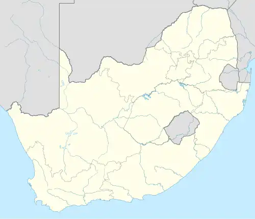
| Provincie | Limpopo | ||
| District | Waterberg | ||
| Coördinaten | 24°42'0"ZB, 28°24'22"OL | ||
| Algemeen | |||
| Oppervlakte | 4677 km² | ||
| Inwoners (2011) |
68.513 (15 inw./km²) | ||
| Etniciteit[1] | 88% Zwart 11% Blank | ||
| Talen[1] | 62% Noord-Sotho 11% Afrikaans 9% Tsonga 5% Tswana 3% Zuid-Sotho 2% Engels 1% Zuid-Ndebele 1% Zoeloe 1% Venda | ||
| Website | modimolle.gov.za | ||
| Foto's | |||
%252C_a.jpg)
| |||
| |||
Modimolle (Afrikaans: Nylstroom) (sinds 2002 officieel Modimolle Local Municipality) is een stad en gemeente in het Zuid-Afrikaanse district Waterberg. Modimolle ligt in de provincie Limpopo en telt 68.513 inwoners[1].
Hoofdplaatsen
Het nationaal instituut voor de statistiek, Stats SA, deelt sinds de census 2011 deze gemeente in in 6 zogenaamde hoofdplaatsen (main place)[1]:
Alma • Leseding • Modimolle • Modimolle Munic NU • Phagameng • Vaalwater.
Zie ook
Bronnen, noten en/of referenties
- ↑ a b c d Adrian Frith, Census 2011, gemeente Modimolle. Gearchiveerd op 3 juni 2025.