Miami County (Kansas)
| County in de Verenigde Staten | |||
|---|---|---|---|
| |||
| Situering | |||
| Staat | Kansas | ||
| Coördinaten | 38°34'59,9"NB, 94°51'0,0"WL | ||
| Algemeen | |||
| Oppervlakte | 1.529 km² | ||
| - land | 1.494 km² | ||
| - water | 35 km² | ||
| Inwoners (2000) |
28.351 (19 inw./km²) | ||
| Overig | |||
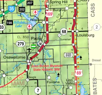
| Zetel | Paola | ||
| FIPS-code | 20121 | ||
| Opgericht | 1855 | ||
| Website | miamicountyks | ||
| Detailkaart | |||
| |||
| Overzichtskaart van Miami County | |||
| Foto's | |||

| |||
 Bevolkingspiramide Miami County | |||
| Statistieken volkstelling Miami County | |||
| |||
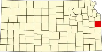
Miami County is een county in de Amerikaanse staat Kansas.
De county heeft een landoppervlakte van 1.494 km² en telt 28.351 inwoners (volkstelling 2000). De hoofdplaats is Paola.
Bevolkingsontwikkeling
| Jaar | Inwoners | % ± | |
|---|---|---|---|
| 1900 | 21.641 | — | |
| 1910 | 20.030 | −7,4% | |
| 1920 | 19.809 | −1,1% | |
| 1930 | 21.243 | 7,2% | |
| 1940 | 19.489 | −8,3% | |
| 1950 | 19.698 | 1,1% | |
| 1960 | 19.884 | 0,9% | |
| 1970 | 19.254 | −3,2% | |
| 1980 | 21.618 | 12,3% | |
| 1990 | 23.466 | 8,5% | |
| 2000 | 28.351 | 20,8% | |
| Bron: (en) Historical Decennial Census Population | |||