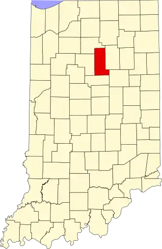
Miami County (Indiana)
| County in de Verenigde Staten | |||
|---|---|---|---|
| |||
| Situering | |||
| Staat | Indiana | ||
| Coördinaten | 40°46'12"NB, 86°3'0"WL | ||
| Algemeen | |||
| Oppervlakte | 978 km² | ||
| - land | 973 km² | ||
| - water | 5 km² | ||
| Inwoners (2000) |
36.082 (37 inw./km²) | ||
| Overig | |||
| Zetel | Peru | ||
| FIPS-code | 18103 | ||
| Opgericht | 1832 | ||
| Website | www | ||
| Foto's | |||

| |||
 Bevolkingspiramide Miami County | |||
| Statistieken volkstelling Miami County | |||
| |||
Miami County is een county in de Amerikaanse staat Indiana.
De county heeft een landoppervlakte van 968 km² en telt 36.903 inwoners (volkstelling 2010). De hoofdplaats is Peru.
Bevolkingsontwikkeling
| Jaar | Inwoners | % ± | |
|---|---|---|---|
| 1900 | 28.344 | — | |
| 1910 | 29.350 | 3,5% | |
| 1920 | 28.668 | −2,3% | |
| 1930 | 29.032 | 1,3% | |
| 1940 | 27.926 | −3,8% | |
| 1950 | 28.201 | 1,0% | |
| 1960 | 38.000 | 34,7% | |
| 1970 | 39.246 | 3,3% | |
| 1980 | 39.820 | 1,5% | |
| 1990 | 36.897 | −7,3% | |
| 2000 | 36.082 | −2,2% | |
| Bron: (en) Historical Decennial Census Population | |||