Metsimaholo
| Gemeente in Zuid-Afrika | |||
|---|---|---|---|
 | |||
.svg.png)
| |||
| Situering | |||
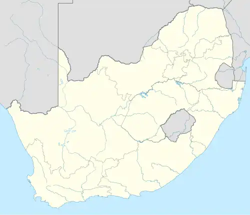
| Provincie | Vrijstaat | ||
| District | Fezile Dabi | ||
| Coördinaten | 26° 49′ ZB, 27° 49′ OL | ||
| Algemeen | |||
| Oppervlakte | 1717 km² | ||
| Inwoners (2011) |
149.108 (87 inw./km²) | ||
| Etniciteit[1] | 82% Zwart 1% Kleurling 16% Blank | ||
| Talen[1] | 16% Afrikaans 3% Engels 7% Xhosa 6% Zoeloe 2% Noord-Sotho 58% Zuid-Sotho 1% Tswana 1% Tsonga | ||
| Burgemeester | Tshepo Mahlaku | ||
| Overig | |||
| Website | metsimaholo.gov.za | ||
| |||
Metsimaholo (officieel Metsimaholo Local Municipality), opgericht in 2000, is een gemeente in het Zuid-Afrikaanse district Fezile Dabi. Metsimaholo ligt in de provincie Vrijstaat en telt 149.108 inwoners[1]. Het gemeentebestuur is gevestigd in Sasolburg.
Hoofdplaatsen
Het nationaal instituut voor de statistiek, Stats SA, deelt sinds de census 2011 deze gemeente in in 18 zogenaamde hoofdplaatsen (main place)[1]:
Baddriftbrug • Bertha Shaft Village • Coalbrook • Deneysville • Holly Country • Kragbron • Liliandale • Metsimaholo NU • Oranjeville • Refengkgotso • Richmond • Rietfontein • Sasolburg • Stokkies Draai • Uitkoms • Viljoensdrift • Wonderwater • Zamdela.
Zie ook
Yes Media, The Local Government Handbook – South Africa, Metsimaholo.
Bronnen, noten en/of referenties
- ↑ a b c d Adrian Frith, Census 2011, gemeente Metsimaholo. Gearchiveerd op 20 november 2024.