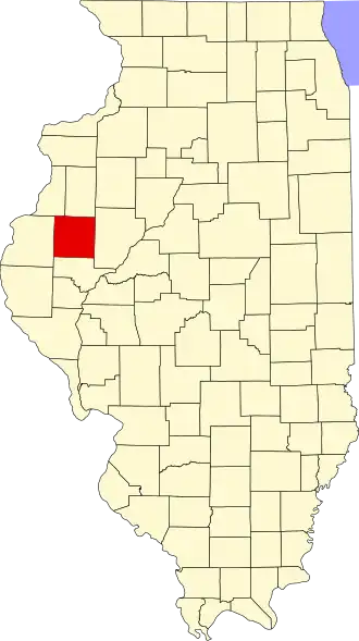
McDonough County
| County in de Verenigde Staten | |||
|---|---|---|---|
| |||
| Situering | |||
| Staat | Illinois | ||
| Coördinaten | 40°27'36"NB, 90°40'48"WL | ||
| Algemeen | |||
| Oppervlakte | 1.528 km² | ||
| - land | 1.526 km² | ||
| - water | 2 km² | ||
| Inwoners (2000) |
32.913 (22 inw./km²) | ||
| Overig | |||
| Zetel | Macomb | ||
| FIPS-code | 17109 | ||
| Opgericht | 1826 | ||
| Website | www | ||
| Foto's | |||

| |||
| Statistieken volkstelling McDonough County | |||
| |||
McDonough County is een county in de Amerikaanse staat Illinois.
De county heeft een landoppervlakte van 1.526 km² en telt 32.913 inwoners (volkstelling 2000). De hoofdplaats is Macomb.
Bevolkingsontwikkeling
| Jaar | Inwoners | % ± | |
|---|---|---|---|
| 1900 | 28.412 | — | |
| 1910 | 26.887 | −5,4% | |
| 1920 | 27.074 | 0,7% | |
| 1930 | 27.329 | 0,9% | |
| 1940 | 26.944 | −1,4% | |
| 1950 | 28.199 | 4,7% | |
| 1960 | 28.928 | 2,6% | |
| 1970 | 36.653 | 26,7% | |
| 1980 | 37.467 | 2,2% | |
| 1990 | 35.244 | −5,9% | |
| 2000 | 32.913 | −6,6% | |
| Bron: (en) Historical Decennial Census Population | |||