Matola
| Plaats in Mozambique | |||
|---|---|---|---|
 | |||
| Situering | |||
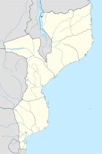
| Provincie | Maputo | ||
| Coördinaten | 25° 58′ ZB, 32° 28′ OL | ||
| Algemeen | |||
| Oppervlakte | 375 km² | ||
| Inwoners (1997) |
1.032.197 (stad) 2.575.000 (agglomeratie) (2.753 inw./km²) | ||
| Overig | |||
| Website | Officiële website | ||
| Foto's | |||
| |||
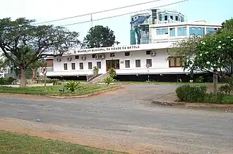
| Gemeentehuis | |||
| |||
Matola is de hoofdstad van de provincie Maputo in Mozambique en heeft sinds 1998 een eigen gekozen gemeentelijke overheid. Het heeft een haven en ook het grootste industriegebied in Mozambique.
Matola is qua inwonertal de tweede stad van het land. De bevolking is volgens de volkstellingen gegroeid van 440.927 in 1997 naar 1.032.197 inwoners in 2017.[1]
Matola is aan de oostelijke zijde vastgegroeid aan de hoofdstad Maputo en vormt daarmee een agglomeratie van 2.575.000 inwoners.[2]
Referenties
- ↑ Mozambique: Provinces, Cities, Urban Localities & Agglomeration - Population Statistics, Maps, Charts, Weather and Web Information. www.citypopulation.de. Geraadpleegd op 12 mei 2025.
- ↑ Major Agglomerations of the World - Population Statistics and Maps. www.citypopulation.de. Geraadpleegd op 12 mei 2025.