Madison County (Indiana)
| County in de Verenigde Staten | |||
|---|---|---|---|
| |||
| Situering | |||
| Staat | Indiana | ||
| Coördinaten | 40°9'36"NB, 85°43'12"WL | ||
| Algemeen | |||
| Oppervlakte | 1.173 km² | ||
| - land | 1.171 km² | ||
| - water | 2 km² | ||
| Inwoners (2000) |
133.358 (114 inw./km²) | ||
| Overig | |||
| Zetel | Anderson | ||
| FIPS-code | 18095 | ||
| Opgericht | 1823 | ||
| Website | www | ||
| Foto's | |||

| |||
 Bevolkingspiramide Madison County | |||
| Statistieken volkstelling Madison County | |||
| |||
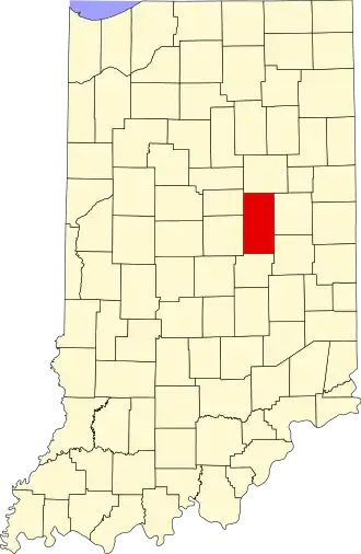
Madison County is een county in de Amerikaanse staat Indiana.
De county heeft een landoppervlakte van 1.171 km² en telt 133.358 inwoners (volkstelling 2000). De hoofdplaats is Anderson.
Bevolkingsontwikkeling
| Jaar | Inwoners | % ± | |
|---|---|---|---|
| 1900 | 70.470 | — | |
| 1910 | 65.224 | −7,4% | |
| 1920 | 69.151 | 6,0% | |
| 1930 | 82.888 | 19,9% | |
| 1940 | 88.575 | 6,9% | |
| 1950 | 103.911 | 17,3% | |
| 1960 | 125.819 | 21,1% | |
| 1970 | 138.451 | 10,0% | |
| 1980 | 139.336 | 0,6% | |
| 1990 | 130.669 | −6,2% | |
| 2000 | 133.358 | 2,1% | |
| Bron: (en) Historical Decennial Census Population | |||