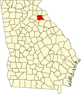
Madison County (Georgia)
| County in de Verenigde Staten | |||
|---|---|---|---|
| |||
| Situering | |||
| Staat | Georgia | ||
| Coördinaten | 34°7'48"NB, 83°12'36"WL | ||
| Algemeen | |||
| Oppervlakte | 739 km² | ||
| - land | 735 km² | ||
| - water | 4 km² | ||
| Inwoners (2000) |
25.730 (35 inw./km²) | ||
| Overig | |||
| Zetel | Danielsville | ||
| FIPS-code | 13195 | ||
| Opgericht | 1811 | ||
| Website | www | ||
| Foto's | |||

| |||
 Bevolkingspiramide Madison County | |||
| Statistieken volkstelling Madison County | |||
| |||
Madison County is een county in de Amerikaanse staat Georgia.
De county heeft een landoppervlakte van 735 km² en telt 25.730 inwoners (volkstelling 2000). De hoofdplaats is Danielsville.
Bevolkingsontwikkeling
| Jaar | Inwoners | % ± | |
|---|---|---|---|
| 1900 | 13.224 | — | |
| 1910 | 16.851 | 27,4% | |
| 1920 | 18.803 | 11,6% | |
| 1930 | 14.921 | −20,6% | |
| 1940 | 13.431 | −10,0% | |
| 1950 | 12.238 | −8,9% | |
| 1960 | 11.246 | −8,1% | |
| 1970 | 13.517 | 20,2% | |
| 1980 | 17.747 | 31,3% | |
| 1990 | 21.050 | 18,6% | |
| 2000 | 25.730 | 22,2% | |
| Bron: (en) Historical Decennial Census Population | |||