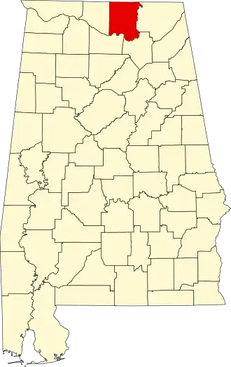
Madison County (Alabama)
| County in de Verenigde Staten | |||
|---|---|---|---|
| |||
| Situering | |||
| Staat | Alabama | ||
| Coördinaten | 34°45'57"NB, 86°33'28"WL | ||
| Algemeen | |||
| Oppervlakte | 2.106 km² | ||
| - land | 2.085 km² | ||
| - water | 21 km² | ||
| Inwoners (2000) |
276.700 (133 inw./km²) | ||
| Overig | |||
| Zetel | Huntsville | ||
| FIPS-code | 01089 | ||
| Opgericht | 1808 | ||
| Website | www | ||
| Foto's | |||

| |||
 Bevolkingspiramide Madison County | |||
| Statistieken volkstelling Madison County | |||
| |||
Madison County is een county in de Amerikaanse staat Alabama.
De county heeft een landoppervlakte van 2.085 km² en telt 276.700 inwoners (volkstelling 2000). De hoofdplaats is Huntsville.
Bevolkingsontwikkeling
| Jaar | Inwoners | % ± | |
|---|---|---|---|
| 1900 | 43.702 | — | |
| 1910 | 47.041 | 7,6% | |
| 1920 | 51.268 | 9,0% | |
| 1930 | 64.623 | 26,0% | |
| 1940 | 66.317 | 2,6% | |
| 1950 | 72.903 | 9,9% | |
| 1960 | 117.348 | 61,0% | |
| 1970 | 186.540 | 59,0% | |
| 1980 | 196.966 | 5,6% | |
| 1990 | 238.912 | 21,3% | |
| 2000 | 276.700 | 15,8% | |
| Bron: (en) Historical Decennial Census Population | |||
