Macon County (Illinois)
| County in de Verenigde Staten | |||
|---|---|---|---|
| |||
| Situering | |||
| Staat | Illinois | ||
| Coördinaten | 39°51'36"NB, 88°57'36"WL | ||
| Algemeen | |||
| Oppervlakte | 1.517 km² | ||
| - land | 1.504 km² | ||
| - water | 13 km² | ||
| Inwoners (2000) |
114.706 (76 inw./km²) | ||
| Overig | |||
| Zetel | Decatur | ||
| FIPS-code | 17115 | ||
| Opgericht | 1829 | ||
| Website | maconcounty | ||
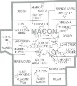
| Detailkaart | |||
| |||
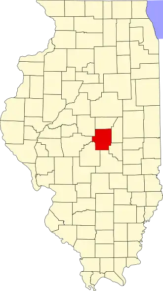
| Overzichtskaart van Macon County | |||
| Foto's | |||

| |||
| Statistieken volkstelling Macon County | |||
| |||
Macon County is een county in de Amerikaanse staat Illinois.
De county heeft een landoppervlakte van 1.504 km² en telt 114.706 inwoners (volkstelling 2000). De hoofdplaats is Decatur.
Bevolkingsontwikkeling
| Jaar | Inwoners | % ± | |
|---|---|---|---|
| 1900 | 44.003 | — | |
| 1910 | 54.186 | 23,1% | |
| 1920 | 65.175 | 20,3% | |
| 1930 | 81.731 | 25,4% | |
| 1940 | 84.693 | 3,6% | |
| 1950 | 98.853 | 16,7% | |
| 1960 | 118.257 | 19,6% | |
| 1970 | 125.010 | 5,7% | |
| 1980 | 131.375 | 5,1% | |
| 1990 | 117.206 | −10,8% | |
| 2000 | 114.706 | −2,1% | |
| Bron: (en) Historical Decennial Census Population | |||