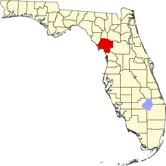
Levy County
| County in de Verenigde Staten | |||
|---|---|---|---|
| |||
| Situering | |||
| Staat | Florida | ||
| Coördinaten | 29°16'48"NB, 82°47'24"WL | ||
| Algemeen | |||
| Oppervlakte | 3.658 km² | ||
| - land | 2.897 km² | ||
| - water | 761 km² | ||
| Inwoners (2000) |
34.450 (12 inw./km²) | ||
| Overig | |||
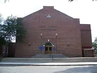
| Zetel | Bronson | ||
| FIPS-code | 12075 | ||
| Opgericht | 1845 | ||
| Website | www | ||
| Foto's | |||
| |||
 Bevolkingspiramide Levy County | |||
| Statistieken volkstelling Levy County | |||
| |||
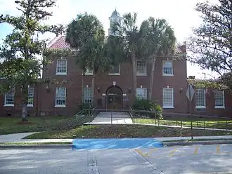
Levy County is een county in de Amerikaanse staat Florida.
De county heeft een landoppervlakte van 2.897 km² en telt 34.450 inwoners (volkstelling 2000). De hoofdplaats is Bronson.
Bevolkingsontwikkeling
| Jaar | Inwoners | % ± | |
|---|---|---|---|
| 1900 | 8.603 | — | |
| 1910 | 10.361 | 20,4% | |
| 1920 | 9.921 | −4,2% | |
| 1930 | 12.456 | 25,6% | |
| 1940 | 12.550 | 0,8% | |
| 1950 | 10.637 | −15,2% | |
| 1960 | 10.364 | −2,6% | |
| 1970 | 12.756 | 23,1% | |
| 1980 | 19.870 | 55,8% | |
| 1990 | 25.923 | 30,5% | |
| 2000 | 34.450 | 32,9% | |
| Bron: (en) Historical Decennial Census Population | |||