Letcombe Bassett
| Civil parish in Engeland | |||
|---|---|---|---|
 | |||
| Situering | |||
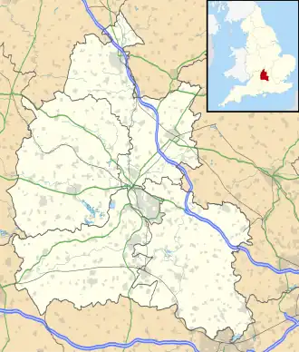
| Regio | South East England | ||
| Graafschap | Oxfordshire | ||
| District | Vale of White Horse | ||
| Coördinaten | 51° 34' NB, 1° 28' WL | ||
| Algemeen | |||
| Oppervlakte | 6,5956 km² | ||
| Inwoners (2011) |
148 (22 inw./km²) | ||
| Overig | |||
| ONS-code | E04008224 | ||
| Website | mycouncil | ||
| Foto's | |||

| |||
| De kerk. | |||
| |||
Letcombe Bassett is een civil parish in het bestuurlijke gebied Vale of White Horse, in het Engelse graafschap Oxfordshire. In 2001 telde het dorp 170 inwoners.[1]
Bronnen
- ↑ Neighbourhood Statistics[dode link]