Labatut-Rivière
| Gemeente in Frankrijk | |||
|---|---|---|---|
.svg.png) | |||
 | |||
| Situering | |||
| Regio | Occitanie | ||
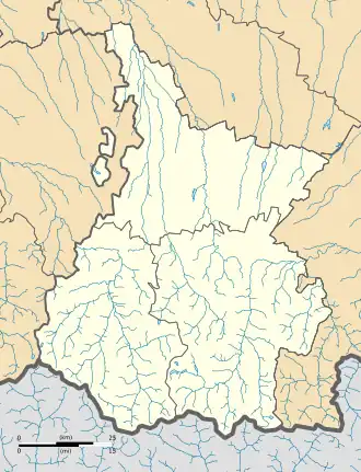
| Departement | Hautes-Pyrénées (65) | ||
| Arrondissement | Tarbes | ||
| Kanton | Val d'Adour-Rustan-Madiranais | ||
| Coördinaten | 43° 32′ NB, 0° 2′ OL | ||
| Algemeen | |||
| Oppervlakte | 12,71 km² | ||
| Inwoners (1 januari 2022) |
386[1] (30 inw./km²) | ||
| Hoogte | 148 - 226 m | ||
| Overig | |||
| Postcode | 65700 | ||
| INSEE-code | 65240 | ||
| Website | Officiële website | ||
| Detailkaart | |||
 | |||
| Foto's | |||
| |||
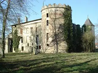
| Kasteel | |||
| |||
Labatut-Rivière is een gemeente in het Franse departement Hautes-Pyrénées (regio Occitanie) en telt 360 inwoners (1999). De plaats maakt deel uit van het arrondissement Tarbes.
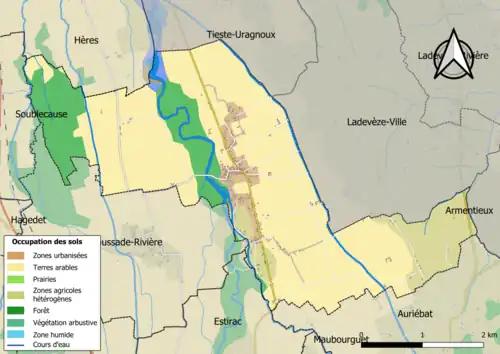
Geografie
De oppervlakte van Labatut-Rivière bedraagt 12,5 km², de bevolkingsdichtheid is 28,8 inwoners per km².
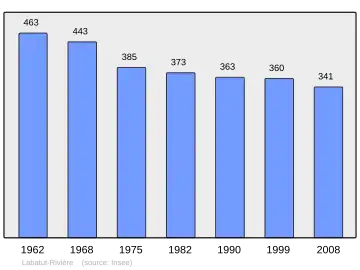
Demografie
Onderstaande figuur toont het verloop van het inwonertal (bron: INSEE-tellingen).
Externe links
- (fr) Statistische informatie op de website van het Franse bureau voor statistiek INSEE
Zie de categorie Labatut-Rivière van Wikimedia Commons voor mediabestanden over dit onderwerp.
- ↑ Populations de référence 2022.